Color Fades. Leaves and records falling.
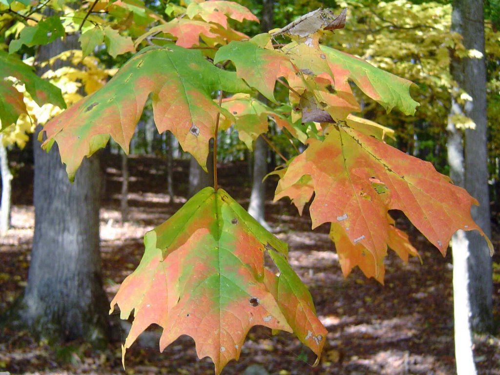 This past Thursday one tree in my yard was a brilliant red. As of yesterday afternoon that particular maple had lost almost all it's leaves. It's been a short burst of amazing color this year, and it's had many people commenting on how beautiful it's really been. We only get so many Autumns in our lives, so it's a real treat when we get to enjoy one like this. (I have some more pictures taken around the area the last few days I hope to get to disc today so I can start posting them in the morning.)
Two down. Two to go. That's record highs in Chattanooga. 80 degrees will go into the books as the new record highs for Sunday and Monday. We'll be close to tying the record of 80 today, and may break the record of 79 tomorrow. I think we'll end up right at 80 both days. The further into November we go the more difficult it is to top out that high with low sun angle and loss of daylight. By the way the warmest we have ever recorded in Chattanooga was 84 degrees in 1961. The date: November 2nd. There is some significant cooling for Thursday through Friday, but highs will remain above average.
Now for rain prospects and the computer models are still pretty stingy. This makes sense with more of a southwest windflow ahead of this front rather than a south or southeast fetch off the Gulf of Mexico. And remember, "The Trend Is Your Friend". So this front goes through with only light rainfall amounts. Most locations only seeing trace amounts the way things look this morning.
I know we need rain. But as long as there are leaves in my yard and in my rain gutters, I'd like to see it stay dry until I can get it all cleaned up. (There's nothing worse than leaf glop.)
posted by UnderH2Owxguy at 5:24 AM
![]()

0 Comments:
Post a Comment
<< Home