Mild To Wild?
 My brother-in-law lives in Southern California and says when it rains out there, people are drawn to the windows and will stop and stare out for long periods of time. He says it's as if they are amazed water falls from the sky.
To a lesser degree I was drawn to the window yesterday afternoon as a shower popped up at home. "Hmmm, am I turning into a Southern Californian?" I thought.
Honestly it's been that long for us. Chattanooga's Lovell Field recorded a whopping .01". The first measurable rainfall there since the .35" on Oct. 7th. And the way the radar looked yesterday afternoon, most places were like my house where it was still dry under the trees.
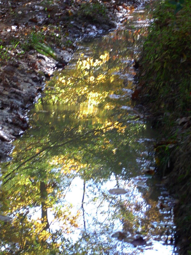
The picture I posted is a reflection of the Autumn color in a puddle. But it was taken in the Shawnee National Forest in Southern Illinois, not in the bone dry Southern California of the southeast - Chattanooga.
I still think this weekend will feature a big upswing in temperatures followed by a drop next week. Yesterday's post outlined the possibilities for near record highs and I still think that's where we end up. Strong to severe storms may erupt late Sunday into Monday if this system turns out to be a slow enough mover to get some Gulf moisture streaming up here. This time of year big warm-ups are usually followed by big drops. But there is still disagreement among the models about what happens next week. I still think a sharp, but short lived cold snap is possible. But we'll see. The latest Climate Prediction Center forecast still calls for warmer and drier conditions for us through November 15th.
So it will be pretty neat to watch and see if we switch quickly from mild to wild.
posted by UnderH2Owxguy at 5:25 AM
![]()

0 Comments:
Post a Comment
<< Home