A Touch Of Spring On The Way, 1 Record Challenged
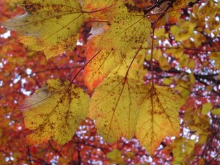
 We continue to get some great pictures in here at Channel 3, and I'll get as many of them on our "Photo Friday" segment on Eyewitness News Today and posted on the blog in the days to come. (For those who have already sent them I will e-mail back and let you know when they'll be shown.) So keep watching and logging in to see them. And if you have taken some please send them to tbenson@wrcbtv.com . It's a great way to stretch out the color season. I only wish I had taken more pictures. This one was taken on Signal Mountain about a week ago on an extended stroll with Dudley.
A big upswing in temperatures after today. In fact I think we come within a couple of degrees of tying a record on Friday. We probably won't get that warm, but within 3 degrees this time of year is horseshoes and hand grenades....close enough to say, "Wow! That's Warm."
Today: Morning light showers, clouds slowly decrease. NW 5-10 High: 61
Tonight: Becoming clear with patchy fog late. Calm Wind. Low: 45
Thursday: Mostly Sunny, warmer. SW 5-10 High: 74
Friday: Mostly Sunny, warm. (In fact close to a record high, the record is 80 in 2002.) High: 77
Saturday: Some scattered showers early. High: 63
Sunday: Mostly sunny and pleasant. High: 62

0 Comments:
Post a Comment
<< Home