I Get To Play Gilligan....Showers Ahead Lil' Buddy.
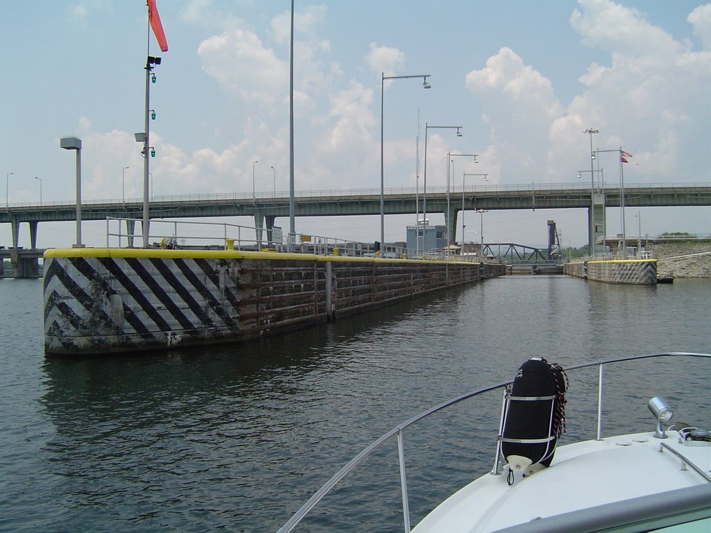

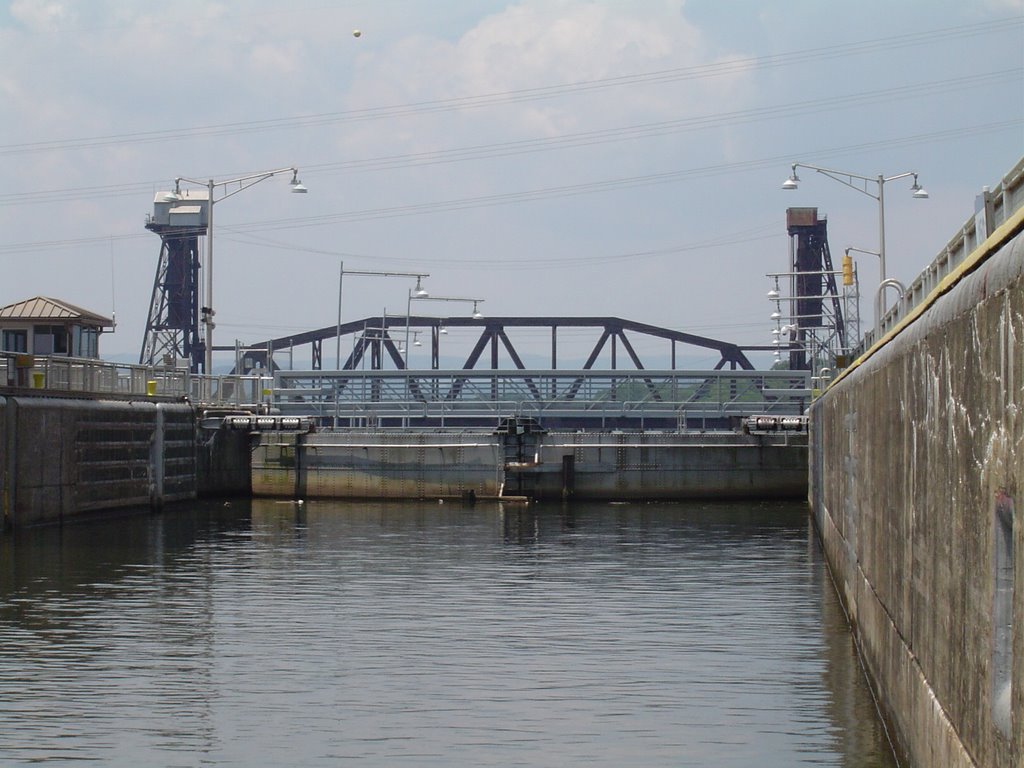 A couple of weeks ago my friend John Walker needed a little help on his boat. So I told him if he didn't mind someone more like Gilligan than the Professor, I was his guy. You see getting a boat through the Chickamauga Lock is not a one person show. This was a learning experience for me and a chance to look back in a way. I grew up only 12 miles from the Mighty Mississippi and Lock and Dam 13. Every once in awhile we would pile into the car and watch a barge or big riverboat come through the lock. In fact this last summer I had a chance to ride bikes with my sister, my brother, and sister-in-law out to the dam. The Army Corps Of Engineers have a few benches out there and an elevated platform that allows visitors to look down into the lock. And occasionally the barge workers will chat briefly with you. But on the Mississippi the difference between the upper and lower stages is not that dramatic. Maybe 15 feet or so. At the Chickamauga Lock I was surprised at how far the water dropped. I'll try to post those pictures in a day or two. It's pretty amazing, and I'm glad I got to be the first mate on this little journey to downtown Chattanooga.
Once again there were some pretty decent downpours early this morning across the area. In fact it was VIPIR deja vu. Two days ago almost the same areas northwest of downtown Chattanooga were getting locally heavy rain at virtually the same time. Doo-doo-doo-doo. Doo-doo-doo-doo. (Twighlight Zone theme.)
"So Skipper what's ahead?"
"More showers Little Buddy."
The system that absolutely drenched coastal Texas yesterday is weakening as it moves northward. But it's spreading moisture our way. Not enough to drench the area, but quench quite a few lawns and gardens over the next several days. And if we're lucky showery weather will continue with afternoon heat into the first few days of August. The latest 8 to 14 day forecast from the Climate Prediction Center keeps us in above normal rainfall from August 3rd through the 9th. We'll see.
Today - Enough sun through the clouds to get us back up to around 90 this afternoon with a 20% chance for hit and miss storms.
Tonight- Partly cloudy with a 20% chance for a shower or two through the overnight hours. Low near 71.
Friday - 30% chance for scattered showers and storms. Highs near 87.
Saturday - 40% chance for scattered showers and storms. Highs near 86.
Sunday and Monday - Partly cloudy with a 30% chance for hit and miss storms. Highs both days 89 to 91.
Hopefully we end up with average amounts between 1/2" and 3/4". Locally heavier amounts will occur.
posted by UnderH2Owxguy at 5:35 AM
![]()

0 Comments:
Post a Comment
<< Home