Historic July Hot Streaks....Is That Water In The Sky?
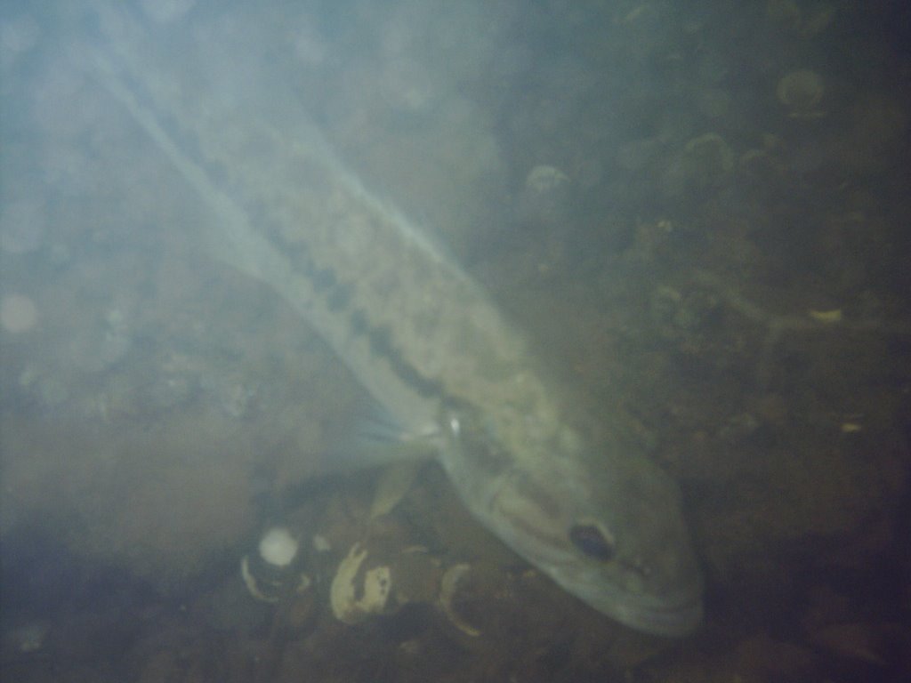

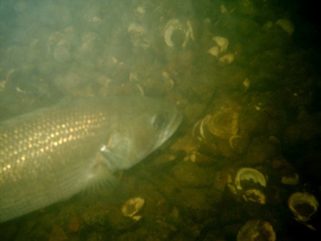 We saw quite a few fish on our trip to the bottom of the Tennessee River on Sunday. Here's a few shots of the largemouth bass that were swarming us while we were diving. It was a lot of fun watching them.
On this date back in 1952 Chattanooga recorded it's all-time record high of 106. That must have been a nasty hot year. 8 record highs from July 1952 are still on the books, all of them between 101 and 106. Two record highs from 1952 are on the books for the month of May. And there are still 5 record highs on the books from June of 1952. Whew!
Other streaky July years: 4 days still on the books from 1954, 1977, and 1980. 2 record highs remain on the books from 1999. That year we wrapped up July with a pair of 99's, and began August with a record 98. One more record high in August of '99.....100 on the 12th. That was the last year in which we officially hit triple digits in Chattanooga. 4 days were 100 or 101 in August, two more at or above the century mark in September. But those were not records for the 6th and 7th.....1925 was hotter. In fact it was blistering! Check it out all the records from that year that are still on the books:
- Sept. 5th 104
- Sept. 6th 103
- Sept. 7th 104
- Sept. 8th 100
- Sept. 9th 102
- Sept. 10th 98
- Sept. 11th 96
- Sept. 19th 100
- Sept. 20th 99
So even though temps the next several days don't look that bad, these records prove we have quite a ways to go before we start thinking about writing Summer's obituary.
How about the radar look this morning? Showers are gradually spreading across southern and central Mississippi, Alabama, and southwest Georgia. This is enhanced activity on the northern fringes of our Texas storm. The low is over land so it's not expected to become a depression or tropical storm. But it's still going to dump a lot of rain on coastal Texas and Louisiana. And eventually that helps us out with increased rainfall chances.
Today: Partly cloudy and steamy with a 30% chance for some hit and miss storms. Highs near 90.
Tonight: I don't think we can completely rule out an isolated shower overnight, but the chance is only about 20%. Low:71
Thursday and Friday: A mix of sun and clouds with a 40% chance for scattered mainly afternoon and evening showers and storms. High Thursday: 89. High Friday: 86.
Saturday and Sunday: Partly cloudy with 30% chance for hit and miss storms. High Saturday: 88 High Sunday: 90.
The other day I mentioned the woodpecker attack on the bluebird box out back. The entry hole is now bigger and wrens have moved in. Yesterday I discovered once again that all things in nature try to seek a balance. Bluebirds are nesting in the birdhouse on the front porch that last year was inhabited by wrens.
posted by UnderH2Owxguy at 5:36 AM
![]()

0 Comments:
Post a Comment
<< Home