Eyeing Snow Potential Again


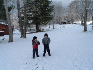
 Top picture thanks to Vicki Madewell of Dayton Mountain on the Bledsoe County side. In the picture are her grandsons Hunter and Hayden enjoying the snow.
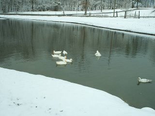
The middle picture was sent in by Len Roberts of Signal Mountain. Thanks Len for sending the nice shot from the Corral Road area. That's only about two miles as the crow flies from Casa Benson. Len says it seems like it's always a bit colder and a bit snowier there. And Len I think you're right. One time the rain was beginning to change over to snow at the house, so I called the newsroom. They sent a photographer up the mountain to get some pictures. He called from the stoplight saying it was just rain. I told him to keep coming. He kept saying still rain. I kept saying keep coming. Finally he got just past the Walden Water tanks, "Ohhhh. There it is."
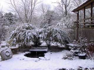
Finally thanks to Jim Grey from Culberson, North Carolina for sharing the picture on the bottom with us.
All right here it is, as the models show it this morning:
Clouds thicken today with highs into the low to mid 40s.
Dry through early evening, then rain starts moving in.
Snow starts mixing in for the mountains northwest of the city after midnight from northwest to the southeast closer to the city.
7 am Chattanooga around 32 with snow mixing in with the rain....snowing in the mountains.
Noon most areas seeing flurries and snow showers, steady snow in the Blue Ridge Mtns.
Saturday afternoon through Sunday afternoon, mostly cloudy and windy with occasional flurries and snow showers.
Accumulations: Sand Mountain 1" to 2", Lookout and Signal Mtns 1" to 3", 2" to 4" along the Cumberland Plateau.
Northern Valleys north of a Dunlap, Charleston line 1" to 2" possible.
Southern Valleys mainly rain with grassy surfaces seeing less than 1/2".
Blue Ridge Mountains 3" to 6", with some spots along the Cherohala Skyway seeing more than 6".

0 Comments:
Post a Comment
<< Home