Rain And Wind Abate, Up And Down Spate
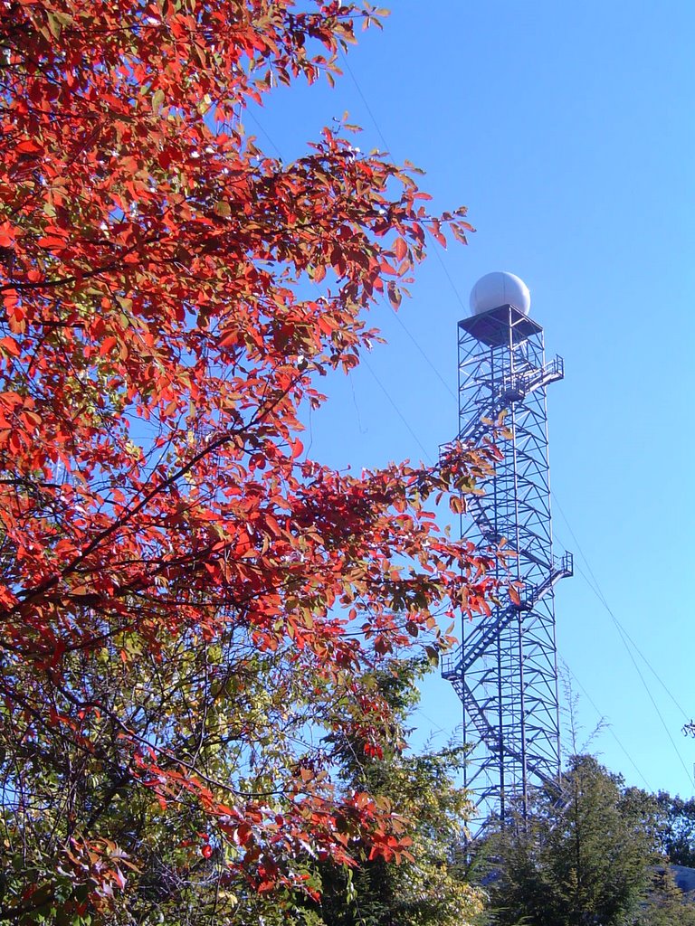 Here's a shot of the Channel 3 Storm Alert Doppler Radar atop Signal Mountain framed by the reds of Autumn. I took this shot on Saturday while taking the Dud-meister for an extended walk. It will be interesting to see how much color is left after winds gusting to more than 40 mph in the higher elevations knocked out power to parts of Signal and Lookout overnight. Even some valley locations had power interruptions this morning.
As of 7 am we have picked up 1.36" of rainfall just since midnight. Doppler radar rainfall estimates right now range from 3" in Jackson County, AL near Scottsboro, to just .6" in parts of Whitfield County, GA near Dalton.
Rain and winds will wind down as we head through the morning hours, and we should be dry until Thursday afternoon when we could pick up another .25" to .5" of rain. Cool and dry weather is expected for Friday and Saturday.
Today: Rainy and windy early. South 15-25 mph and gusty. Winds settling down this afternoon with a few peeks of sun. High: 71
Tonight: Gradual clearing with foggy areas late. Low: 57
Wednesday: Morning Fog, then partly cloudy and warm. High: 82
Thursday: Partly cloudy start, scattered afternoon and evening storms. High: 74
Friday: Partly cloudy and cooler. High: 66
Saturday: Mostly sunny. High: 68
posted by UnderH2Owxguy at 5:57 AM
![]()

0 Comments:
Post a Comment
<< Home