FALL-ing Temperatures & Patchy Frost?
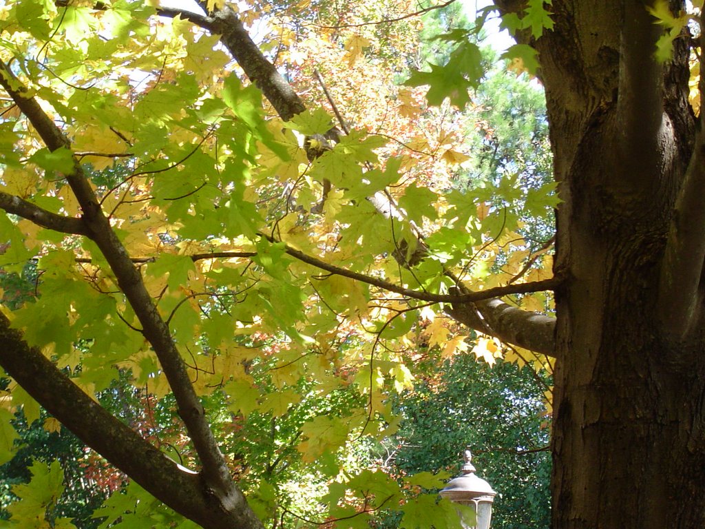 At several locations yesterday folks were telling me how much they have been enjoying the weather lately. And who could argue? Sure it's been a little dry, but the afternoon strolls with Dudley have been awesome. I took the camera with us the other day to snap some shots of the changing leaves. And things are beginning to look very nice with the reds and oranges really popping now.
The arctic air is plowing southward through the Midwest this morning with a patch of light showers moving southeast out of Kansas. This light rain will be drying up as it heads our way, but we should still see a sprinkle or light shower from this late this afternoon or this evening. Colder air will make for a chilly day Friday, and for Friday Night Football fans. The cold point will be Saturday morning, but right now I think we miss a widespread frost for two reasons, 1) temps just don't get that cold and 2) A light west or northwest wind should stay with us overnight Friday night. But some patchy frost may form is some of the sheltered valley locations. Overall the weekend looks great with a warming trend by Sunday. The first part of next week we should get some much needed rainfall.
Today: After a sunny start, clouds will increase. Then a few light showers across the area late this afternoon into this evening. NW winds 10-15 and gusty. High: 66
Tonight: A light shower early, then mostly cloudy late. Low: 44
Friday: Sunshine returns, but it will be cool and breezy. High: 63 NW winds 10-15 and gusty.
Saturday morning: Patchy frost possible with lows in the upper 30s.
Saturday afternoon: Mostly sunny. High: 69
Sunday: Partly cloudy, warmer. High: 76
Monday: Rain likely. High: 73
posted by UnderH2Owxguy at 5:38 AM
![]()

0 Comments:
Post a Comment
<< Home