Awesome Before And After Pictures.
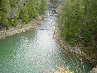
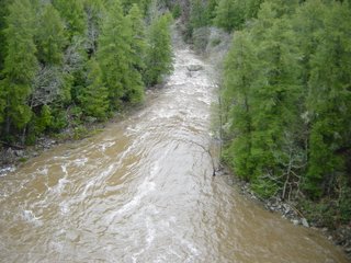
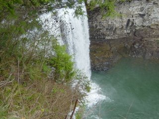
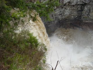
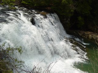
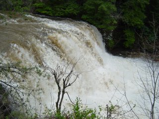
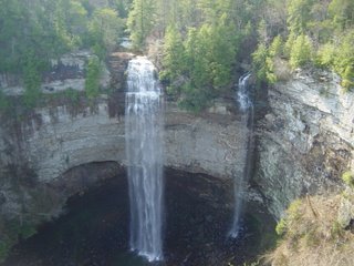
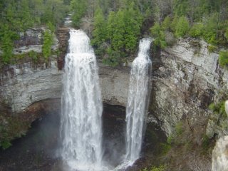 A huge thank you this morning to Richard Williams of Chattanooga for these pictures from Fall Creek Falls State Park. This series of shots really shows how things changed up there from before strong to severe storms moved through on April 7th, and after the heavy downpours moved through on April 8th. These scenes are being played out across the area right now from the rains we saw last week. A lot of the mountain sides still have a fairly healthy flow of water which is great news for hikers and photographers.
A couple of small showers moved through parts of Van Buren, Bledsoe, Rhea, Meigs, McMinn, and Monroe counties. All of these places could see another shower or storm pop up or move through this afternoon through tonight, but even that is a small chance. Most of us will be warm and dry again this afternoon. Speaking of warm , check these daytime highs out for the month so far:
- 12 days with highs in the 80s
- 9 days with highs in the 70s
- 2 days with highs in the 60s.
Right now I'm thinking we'll add two more days to the 80s column this week, and one more (Wednesday) in the 60s. Thursday through next Monday we may be in the lower 70s.
Scattered showers and storms will soak the area with average rainfall amounts of 1/4" to 1/2"+ from tomorrow afternoon through mid morning on Wednesday. A few storms may become strong to severe, but no big severe weather outbreak is expected.
Then cooler Wednesday afternoon. And right now things look great Thursday and Friday.
But this upcoming weekend may be wet. The first part of Saturday may be dry, and hopefully we stretch that out until evening. Sunday may end up pretty wet from start to finish. We have a few days to look at that before we start worrying about outdoor plans though.

0 Comments:
Post a Comment
<< Home