Windy Today - But will it be "D1" or "D2"?
 Today's picture was taken in Sequatchie County on Walden's Ridge. It's one of those roads I have passed by a number of times and I always wondered where it went. But most of the time life's to busy to allow for any exploration. But this mission was to seek out the unseen, and check out the snowy scenes. And I didn't dare to cut this trip short. My co-pilot Dudley Dog was having too much fun hanging his head out the window and letting his ears flap in the wind.
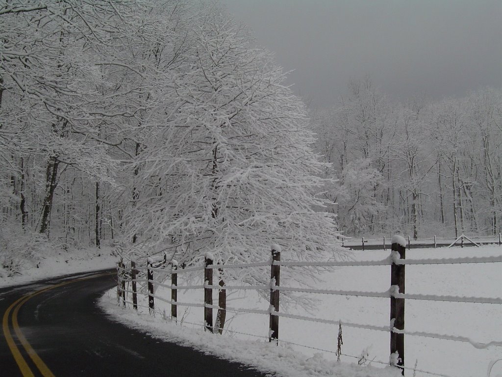
Is there possibly a tie in from that to today's weather? Yes.
(The set-up....) Years ago Alan Moeller, from the NWS office in Fort Worth would come to Abilene, TX to head up a severe weather seminar given primarily for HAM radio storm spotters. His presentation was awesome. Al would really come to life when talking severe weather, and most of the slides in his show were shots he had taken. He's a great photographer and had some fantastic shots of not only severe storms and tornadoes, but also of wildflowers and the sky. He was big on the contrast of warm and cool colors whenever he could get them in the same frame. One of the best parts of the program was his "D" scale. It was Al's tongue in cheek version of the Fujita scale. He had shots of a basset hound encountering various wind speeds from "D1" where the ears were hardly flapping, to "D5" which was dog gone.
(And now the connection....) If I get a chance to jog with Duds today he might be somewhere around "D2" with his ears and lips flapping in the wind. Look for south winds to crank up across the area with valley sustained winds 20 to 25 mph with gusts to nearly 40. Mountains may see sustained south winds 25 to 35 mph with gusts to 45+. Most of today should be dry as severe storms rake the Mid-Mississippi valley and continue east towards us. Tonight these storms should lose some of their punch, but we still could have a squall line with damaging winds. It's all out of here by Friday morning, with mostly sunny skies Friday afternoon. Saturday still a chance for some scattered showers and thunderstorms. Only a 20% chance for Sunday. Then most of Monday will be dry followed by some more rain and storms Monday night into early Tuesday. Look for cooler conditions next week. Stay tuned to Channel 3 Eyewitness News throughout today and tonight as Paul Barys brings you the latest on this threatening weather situation.
posted by UnderH2Owxguy at 7:32 AM
![]()

0 Comments:
Post a Comment
<< Home