Much Needed Rainfall Ahead
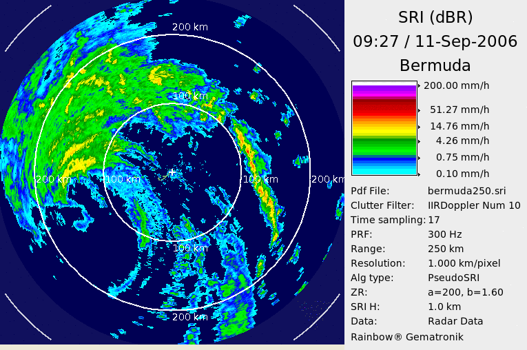
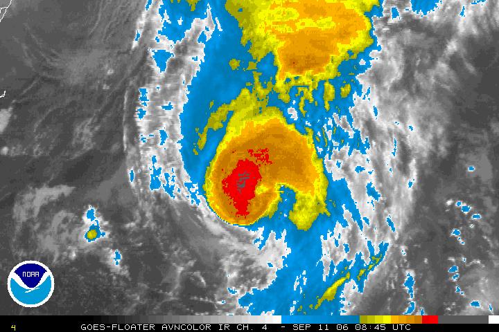
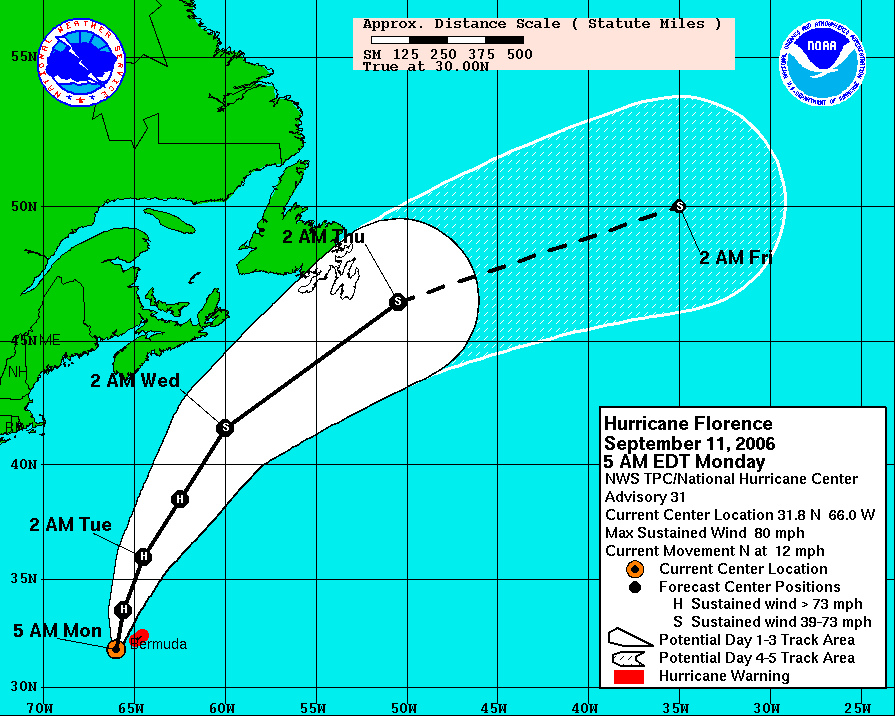
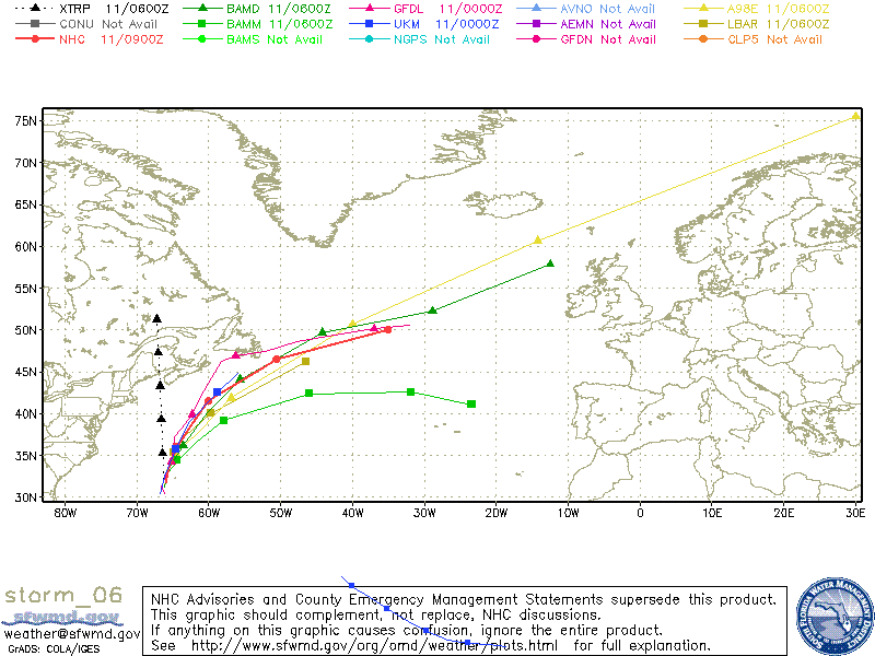 Florence was upgraded to a hurricane on Sunday, and as of the 5 am advisory the storm still has 80 mph sustained winds. But the eyewall has been falling apart a bit during the overnight hours. Overall the models have done a good job with this system. Since Wednesday they have been forecasting a hurricane strength storm passing very close to Bermuda, and this morning it's passing about 80 miles to the southwest of the island.
T.D. #7 is likely to become "Gordon" later today, following a similar path to Florence. Northward to near Bermuda and out over the Atlantic. But this system probably won't become a hurricane.
We had to turn our air conditioning back on yesterday. At Lovell Field the temperature hit 89 yesterday afternoon, and it was 83 at the house. It was very steamy again, and this steam will stay with us through Tuesday night as another front pushes through. And this front promises to bring some much needed rainfall to the region with many areas getting 3/4" to 1" from Tuesday night through early Wednesday.
Today: Partly cloudy with a 20% chance for a pop-up shower or storm this afternoon. High: 87
Tonight: Mostly cloudy with a 20% chance for an isolated shower. Low: 68
Tuesday: Sun and clouds mixed early with rain and storm chances increasing through the afternoon. High: 80
Tuesday night: Showers and storms likely. Low: 66
Wednesday: Showers and storms likely early. High: 75
Thursdsay: Mostly sunny and comfortable. High: 81
Friday: Mostly sunny and warm. High: 85
posted by UnderH2Owxguy at 5:42 AM
![]()

0 Comments:
Post a Comment
<< Home