Autumn Gold To Winter Cold?
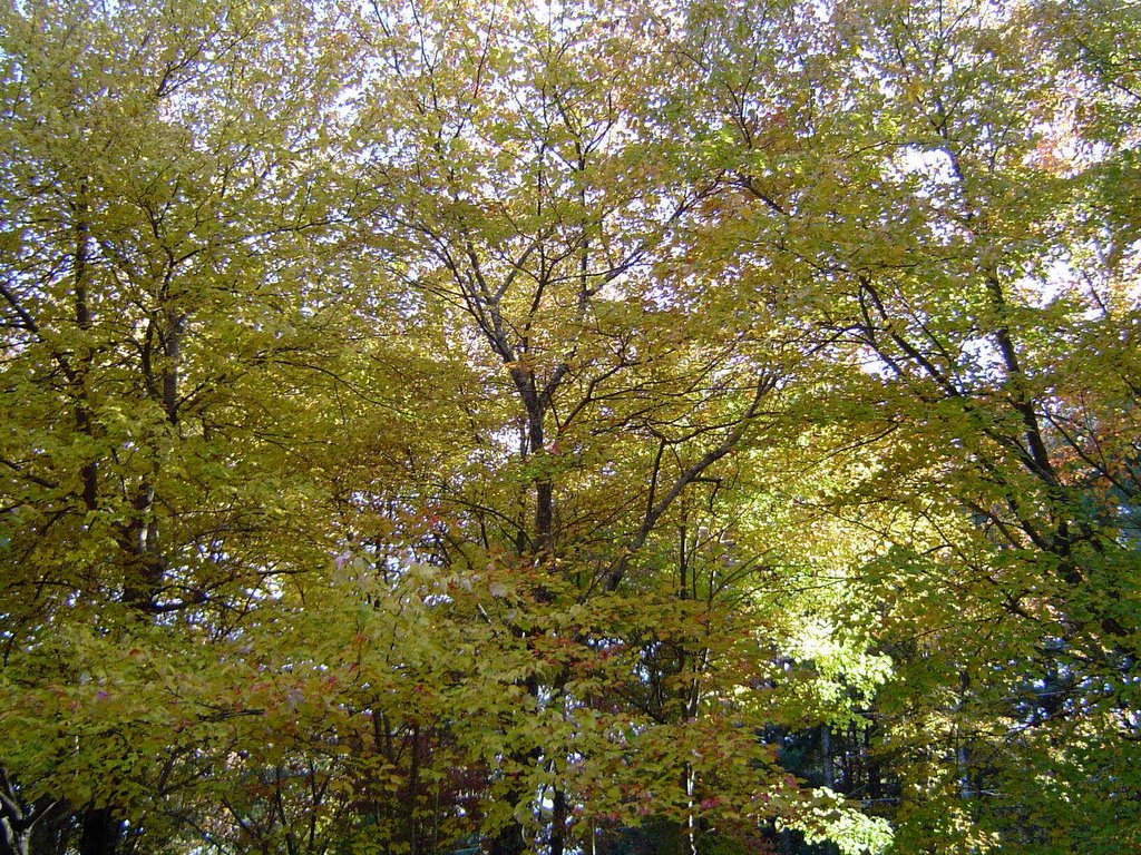 I'm glad I grabbed the camera and took as many pictures around the yard as I did. This one shows the trees between the house and the street and the warm golds they were displaying for what seems like all too short a time frame this year.
A new month today and climatologically we're headed in this direction:
- The average high and low for December 1st 56 / 36
- The average high and low for December 31st 49 / 30
- The average precipitation for December 4.81"
- The record high for December is 78 set on Dec. 7th 1951
- The record low for December is -2 set on Dec. 13th, 1962 & Dec. 25th, 1983
I think December will present more forecast challenges than normal this year. The evidence popped up on the Storm Alert Live Doppler Radar and VIPIR this morning. A few flurries raced across the area during the pre-dawn hours. And after a few morning sprinkles, the rest of the day will be partly cloudy and become windy. (The old addage of not liking the weather and waiting a minute for it to change applies here.)
Friday looks chilly, but with mostly sunny skies. Then clouds increase Friday night ahead of the next weather maker. And here's the challenging part. Right now it looks like we see showery periods off and on from Saturday through Sunday night. By Monday morning most of the rain is southeast of here, but there's enough moisture and cold air left over for this system to end as some mountain flurries.
Beyond that next week looks pretty cold especially when compared to average.
posted by UnderH2Owxguy at 5:54 AM
![]()

0 Comments:
Post a Comment
<< Home